Your
Private Utility
Locators
ICON


Why
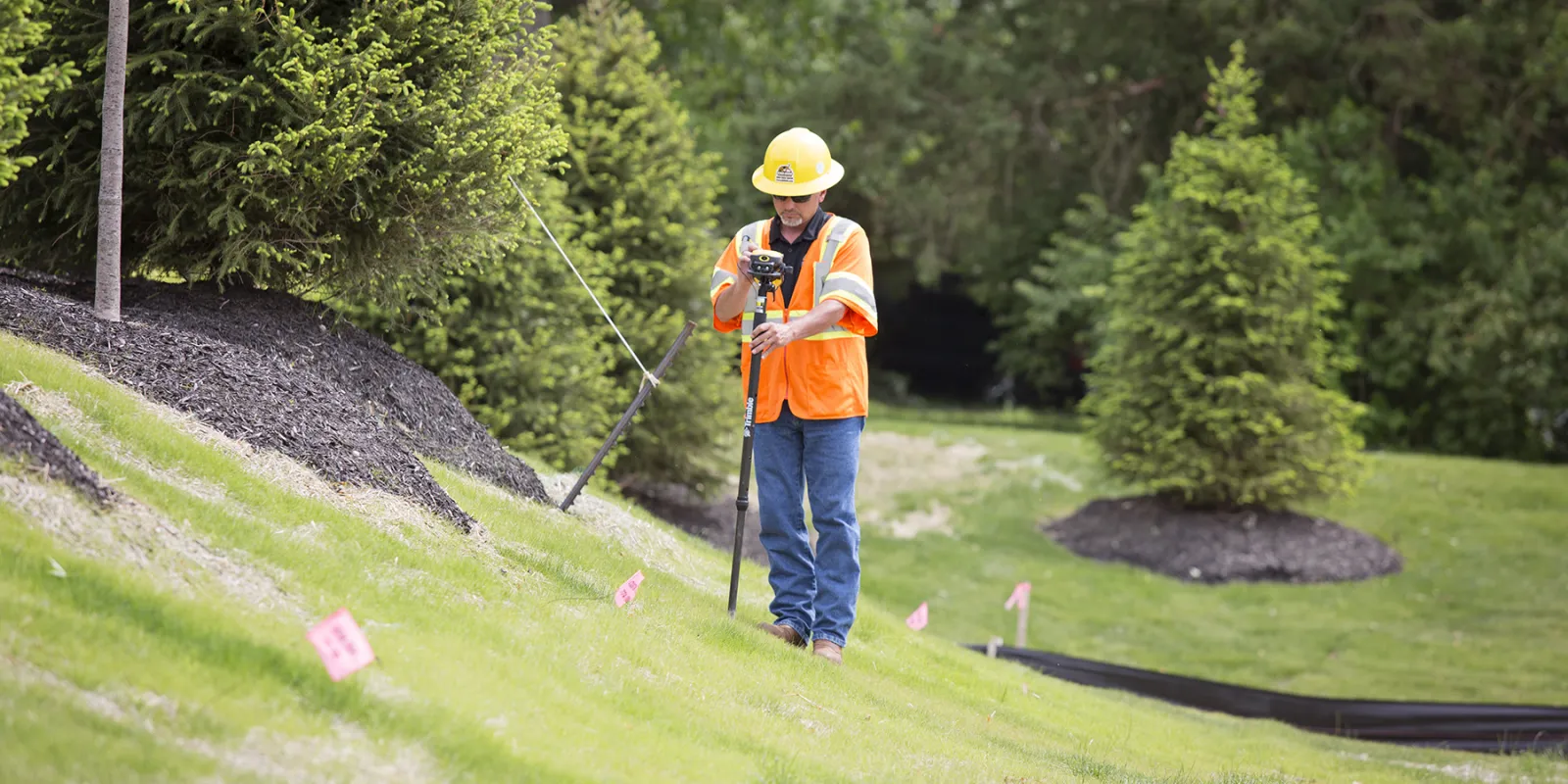
Private Utility Locating is Necessary
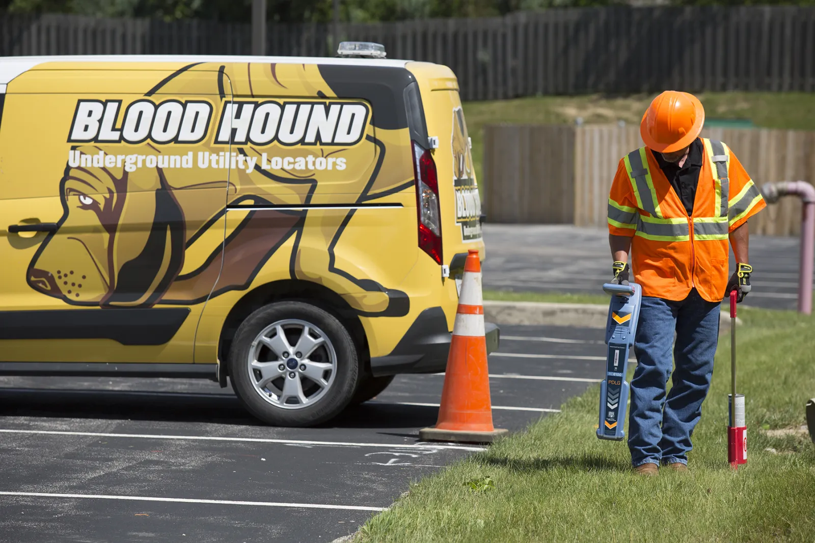
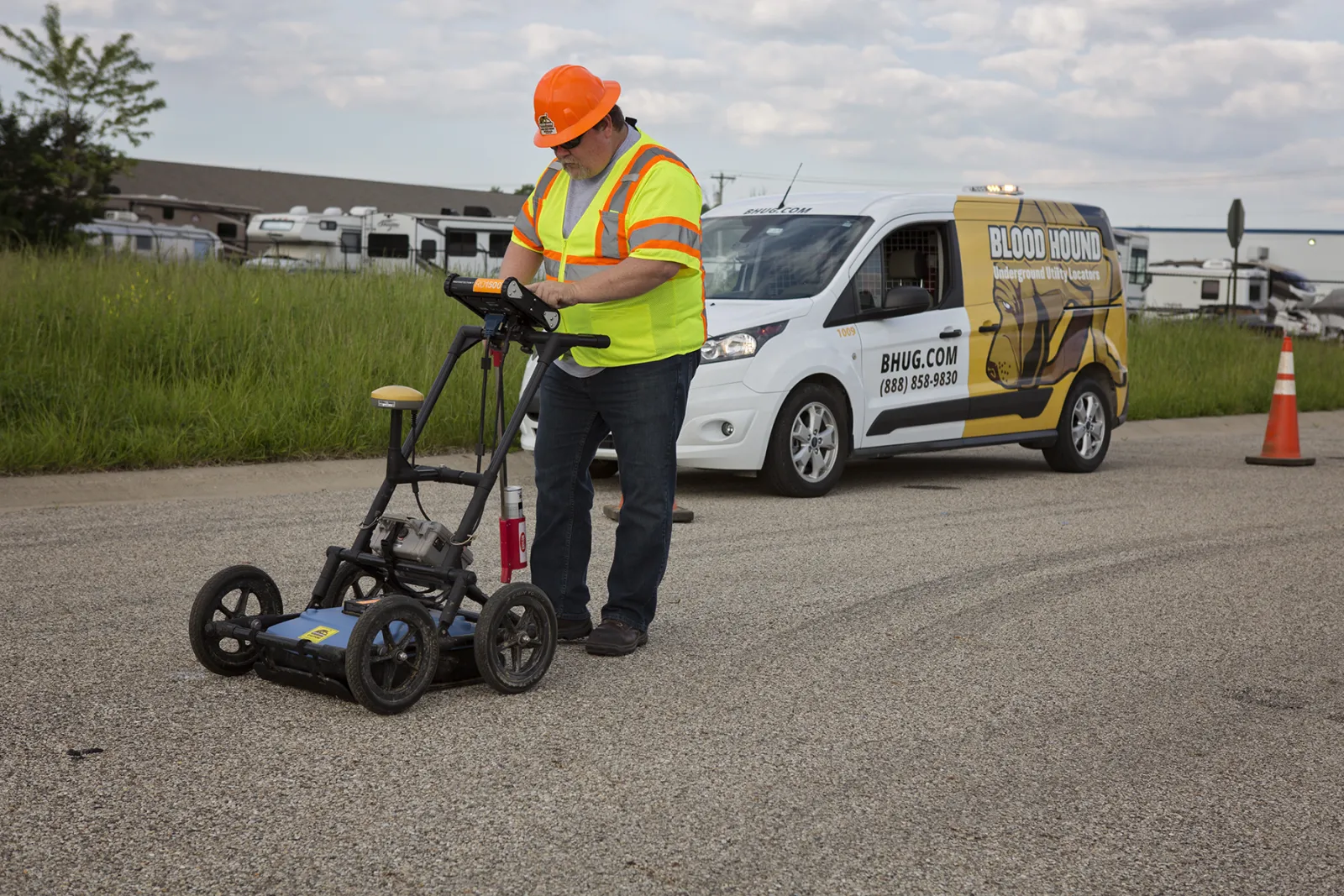
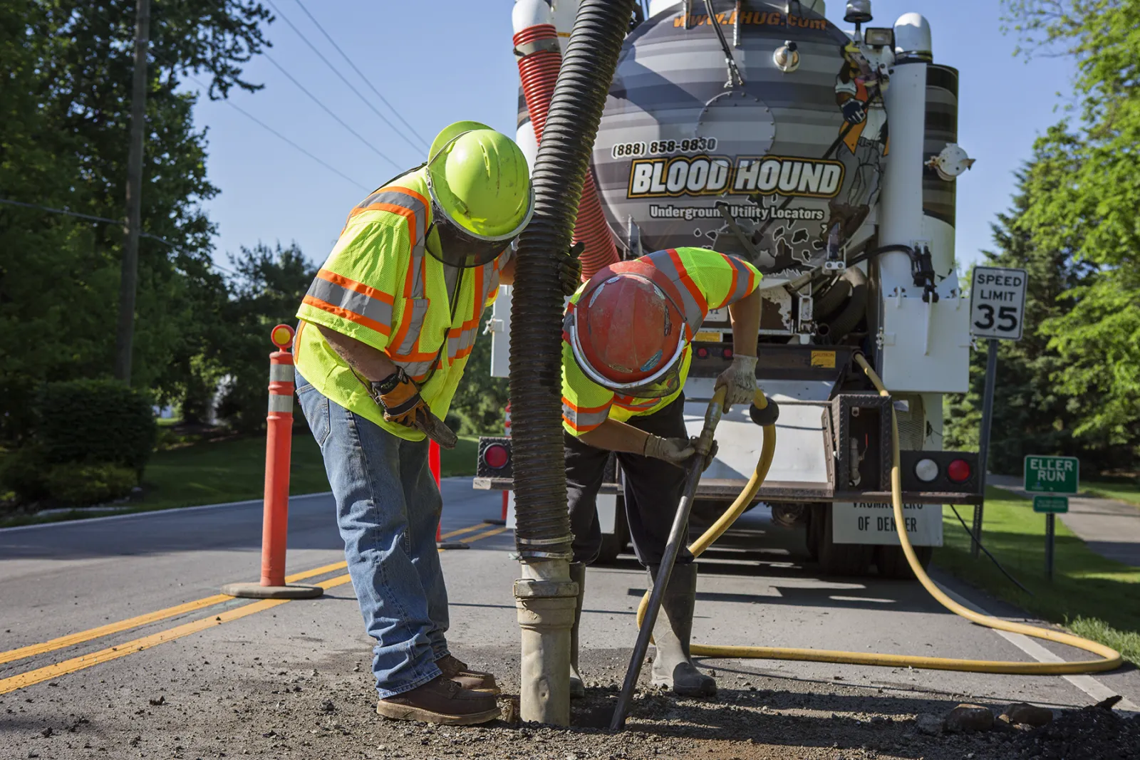
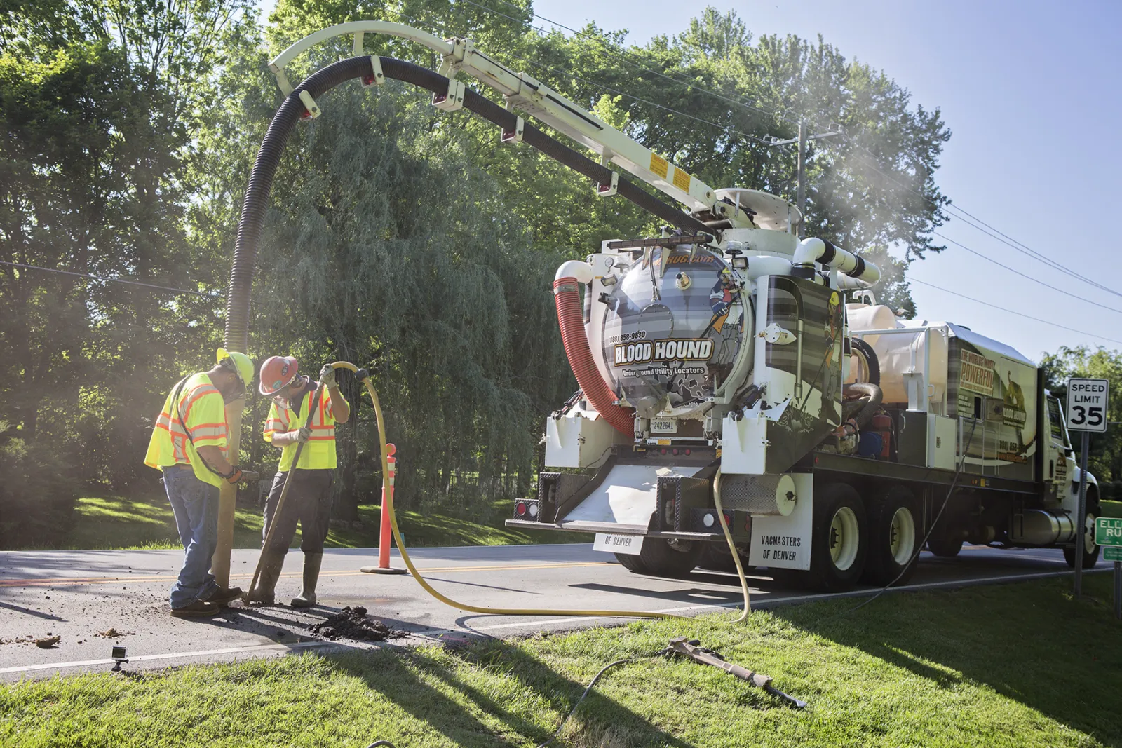
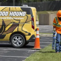
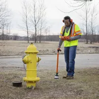
The law requires you to call 811 to have public utilities marked before you dig. However, public utilities will only locate the facilities they own - electric, gas, oil, sewer, telephone, water. The vast majority of underground utilities are privately owned, which is why you need to make Blood Hound your second call.
We locate ALL underground utilities and structures and offer a
range of highly specialized subsurface
utility services to
significantly reduce your risk of costly damages and project delays and
mitigate safety hazards for your crews and community.
It's not just underground...it's under control.®
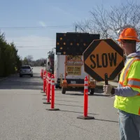
keeping employees safe & preventing downtime Since 1999
352,786
Utility service interruptions each year caused by NOT locating underground utilities before digging
26,529
Locates performed by Blood Hound's certified underground utility locators over the last year
Tens of Thousands of Dollars
in monthly cost savings to businesses that partner with Blood Hound for private utility locating
We Locate
WHAT OTHERS CANNOT OR WILL NOT LOCATE:
- Tanks
- Chemical Lines
- Product Lines
- Fire Lines
- Irrigation Lines
- Low Voltage Control Wire
- Oxygen Lines
- Hydraulic Lines
- Private Alarm Wires
- Chilled Water Lines
- Process Sewers


811
Locates the Public utilities. These are utilities that are owned by the utility companies. 811 will locate these utilities from the main to the box.
CCTV
Closed Circuit Television lines. If these are cut you will not have a security system until it is fixed.
Diesel Tank
Any underground tank is considered a private utility
Irrigation
All irrigation and sprinkler systems are private underground lines that need to get marked.
Lot Lights
These lines power the lights in the parking lots. This is a common one that people think will be marked by 811.
Sewer
Sewer from the main to the building is private.
Fire / Water
Extremely important to be marked. This is another one that people think will be marked by 811 and is not.


